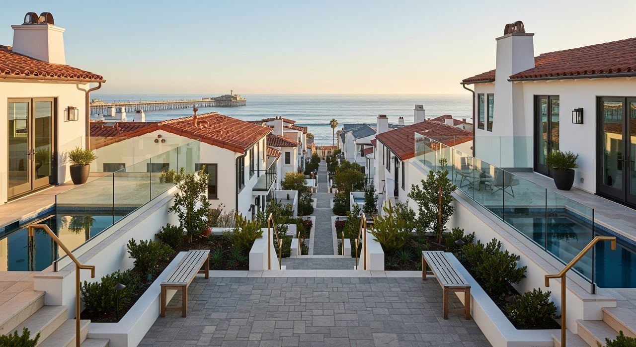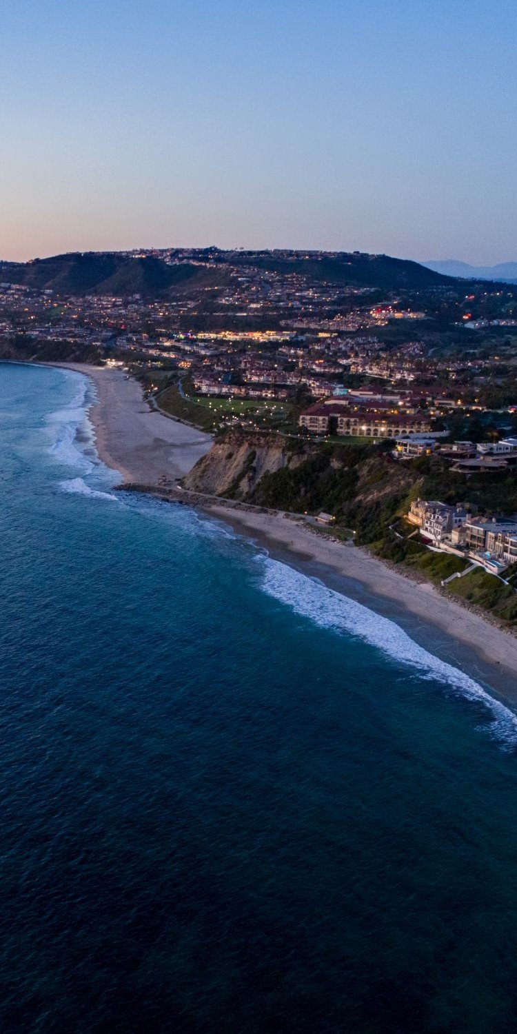
What if you could leave your car at home and be on the harbor promenade, toes-in-the-sand at Doheny, or grabbing coffee in minutes? In Dana Point, a few pockets make that lifestyle realistic most days of the week. If you are choosing between coastal neighborhoods, understanding walk times, terrain, and where daily conveniences cluster will help you find the right fit. This guide breaks down the most walkable areas, typical housing options and price ranges, and smart checks before you buy or sell. Let’s dive in.
How we define walkability
Walkability here means you can handle daily needs on foot safely and comfortably. That includes coffee, small markets, casual dining, parks, beach or harbor access, and basic services. We use an average walking speed of about 3.0 mph, where 5 minutes is roughly 0.25 miles, 10 minutes is 0.5 miles, and 20 minutes is about 1 mile. Topography and major roads like Pacific Coast Highway influence real-world routes, so we also point you to official resources like the City of Dana Point and the Dana Point Harbor directory and map for on-the-ground details.
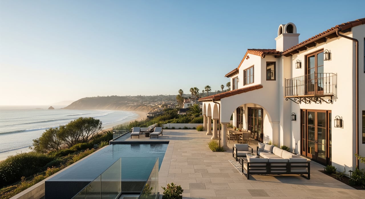
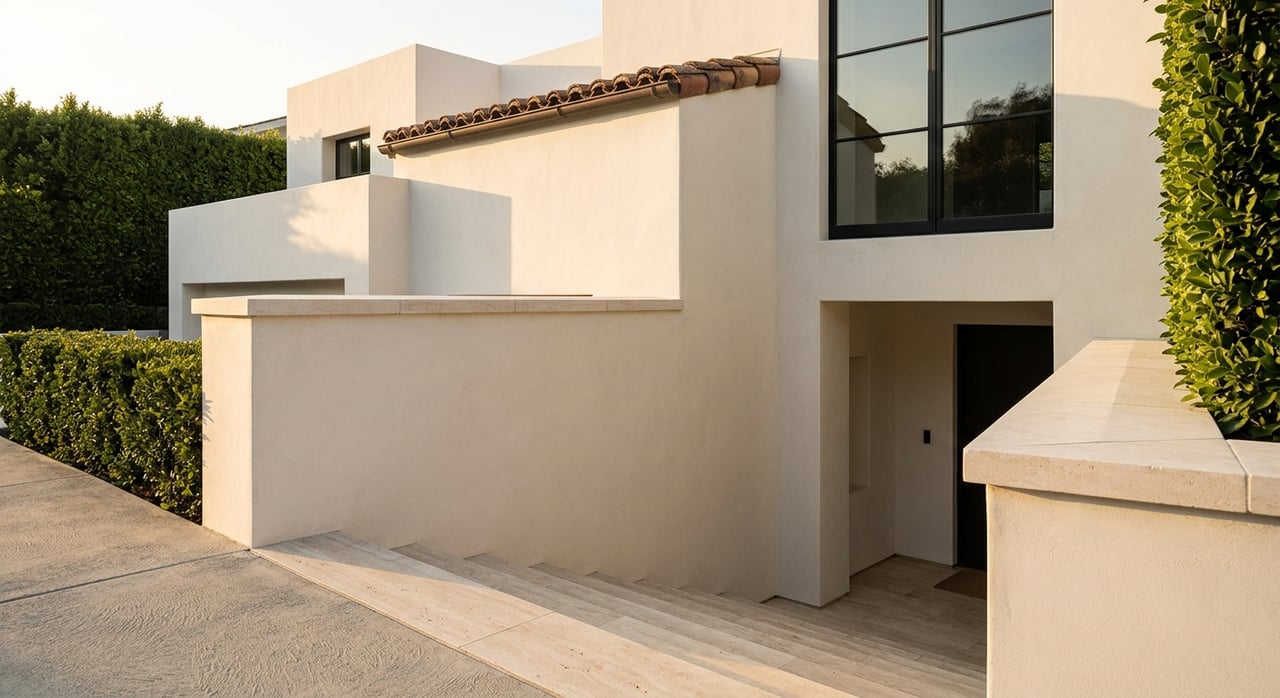
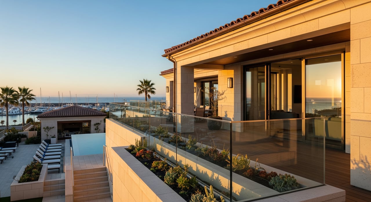
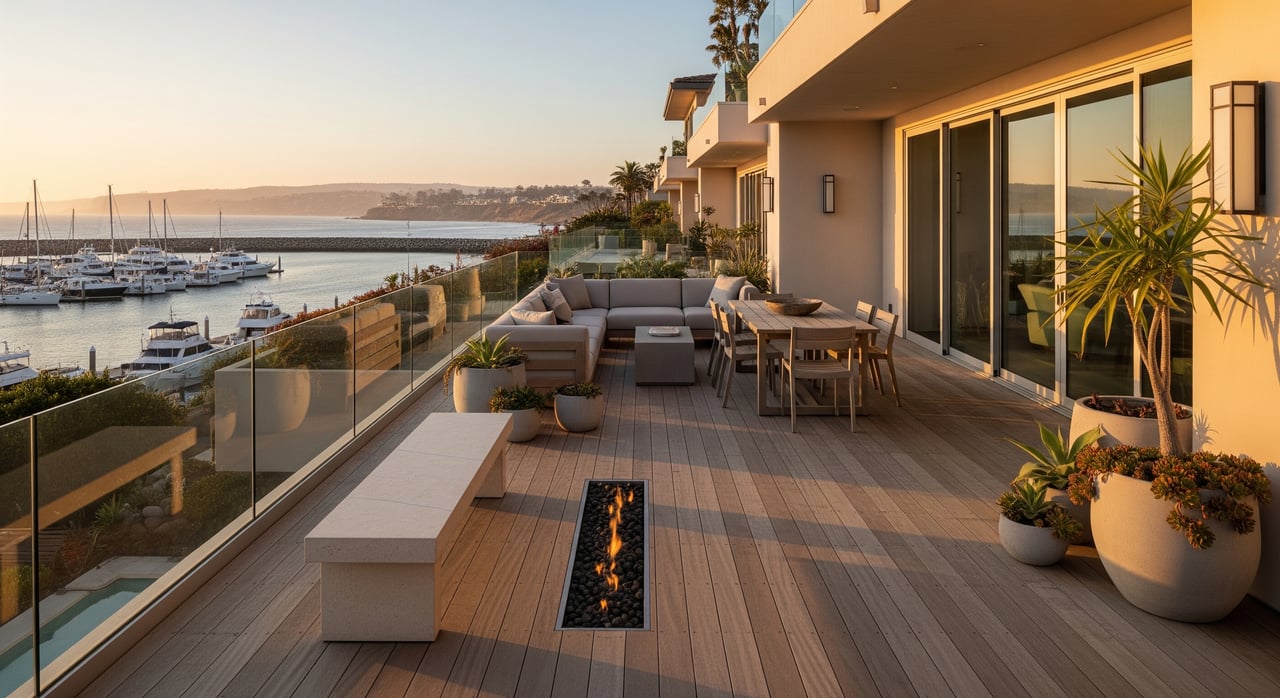
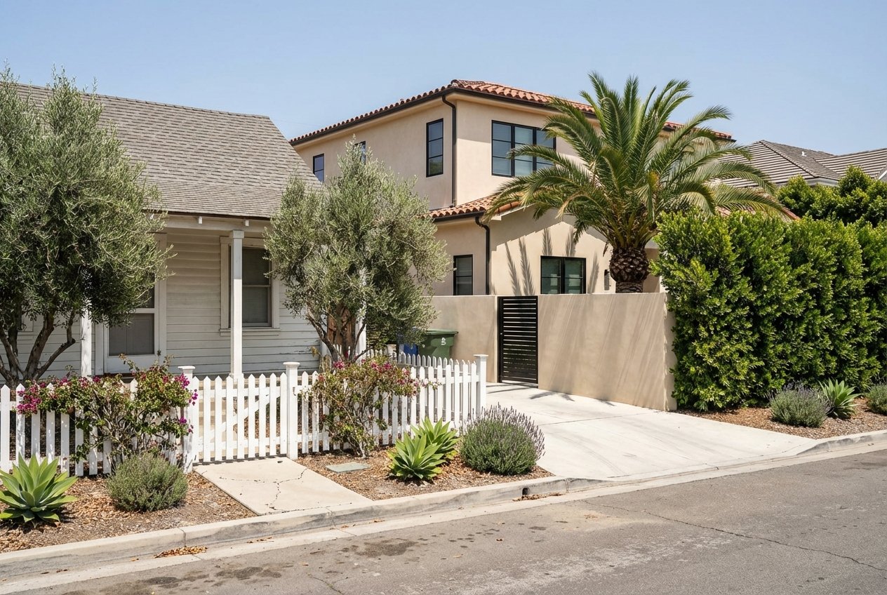
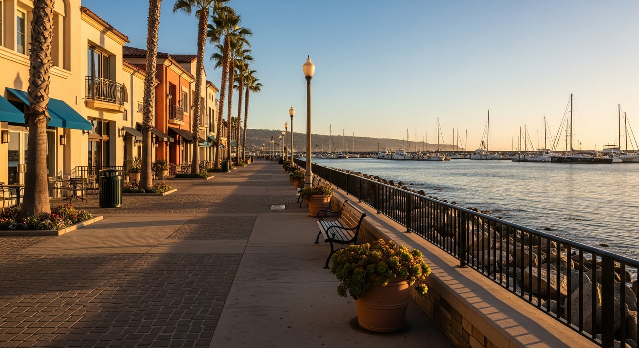
Lantern District and Harbor
The Lantern District and harbor area form Dana Point’s walkable core. You can stroll the marina boardwalk, pop into restaurants and shops, and reach the beach from many blocks in minutes. Expect a lively scene during events and on sunny weekends.
- Walkable to:
- Harbor promenade, dining, and shops in about 0 to 10 minutes for many streets.
- Harbor Beach and Doheny access points in about 5 to 25 minutes depending on your block.
- Cafes and small markets within roughly 5 to 15 minutes.
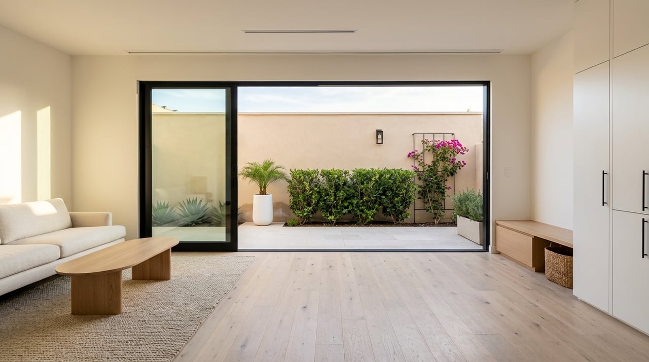
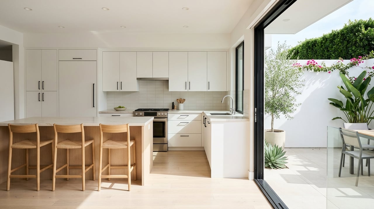
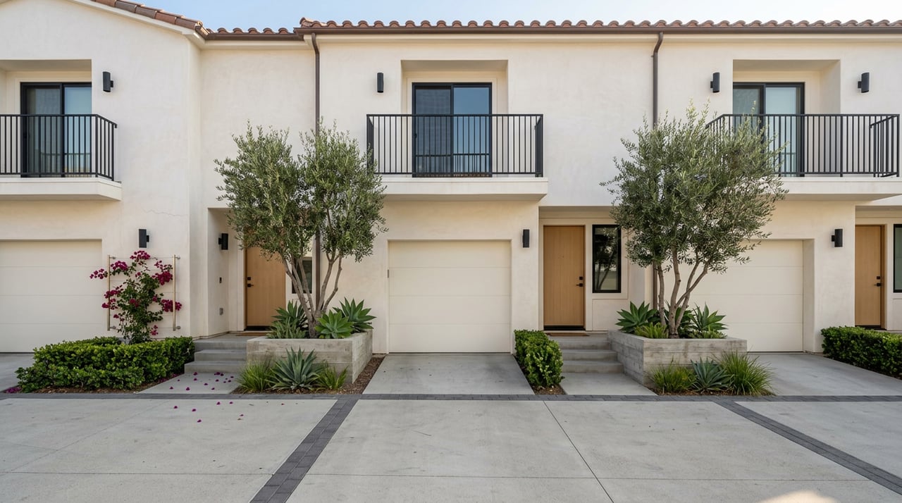
- Housing snapshot: condos, townhomes, harbor-front apartments, and some nearby single-family homes.
- Price notes: approximate, mid-2024 estimates. Condos and townhomes near the harbor often range from about $700,000 to $2,000,000, with size and view driving price. Single-family homes nearby often start in the mid to high $1,000,000s and rise to several million for water-proximate or view properties.
- Watch-outs: summer visitor traffic and event crowds can affect the pedestrian experience and parking.
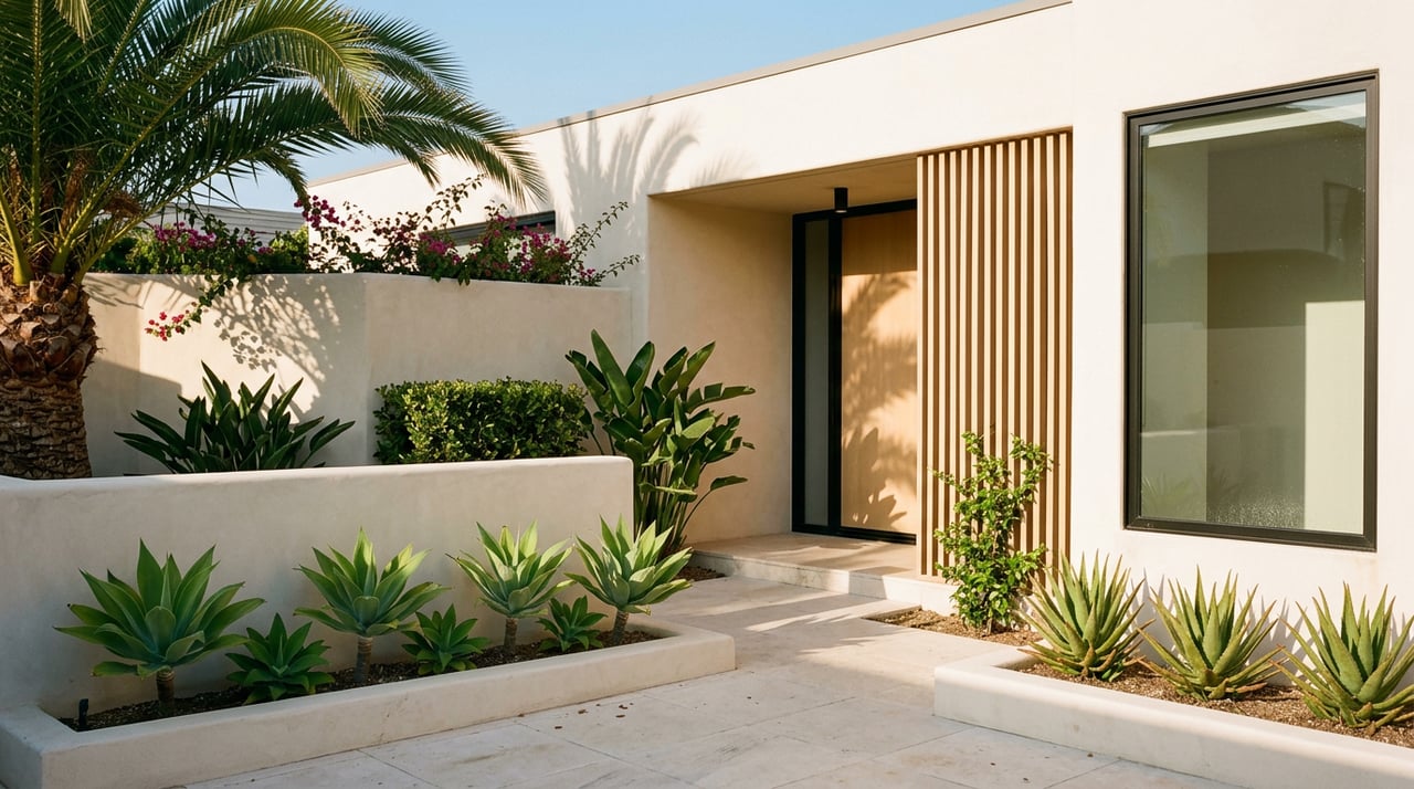
Doheny Village and Beach
If daily beach walks and surf culture are on your wish list, this area delivers straightforward access to the sand. The commercial strip has casual eateries and surf shops, with more robust groceries typically a short drive away.
- Walkable to:
- Doheny State Beach in about 0 to 10 minutes for adjacent blocks, up to 20 minutes from more inland streets.
- Coffee and quick bites within about 5 to 15 minutes.
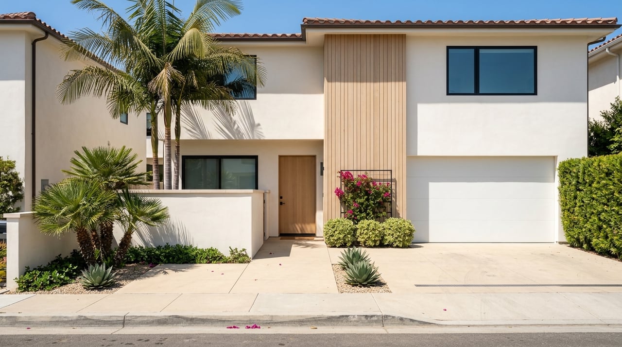
- Housing snapshot: smaller single-family cottages, duplexes, low-rise condos, and newer infill townhomes.
- Price notes: approximate, mid-2024 estimates. Smaller cottages and condos often range from the high $800,000s to around $1,800,000, while larger or remodeled beachfront options commonly reach $2,000,000 and up.
- Watch-outs: Pacific Coast Highway is busy, and sidewalks or crossings vary by block. For beach details and access rules, see Doheny State Beach.
Capistrano Beach and the Strand
Capistrano Beach offers a linear coastal experience along the Strand path, which is excellent for walking and biking. Many homes near the Strand are a quick stroll to the beach, with some convenience retail reachable on foot depending on your exact location.
- Walkable to:
- Strand and beach access points in about 0 to 10 minutes for many Strand-facing properties.
- Local cafes and small retail in about 10 to 20 minutes or more, with larger shopping often a short drive.
- Housing snapshot: beachfront condos and townhomes along the coast, with single-family homes inland.
- Price notes: approximate, mid-2024 estimates. Strand-facing condos and townhomes often range from about $1,200,000 to $3,000,000. Inland single-family homes typically range from about $1,100,000 to $2,500,000, with oceanfront or view properties commanding premiums.
- Watch-outs: amenities are spread out, so some blocks feel residential and quiet between retail nodes.
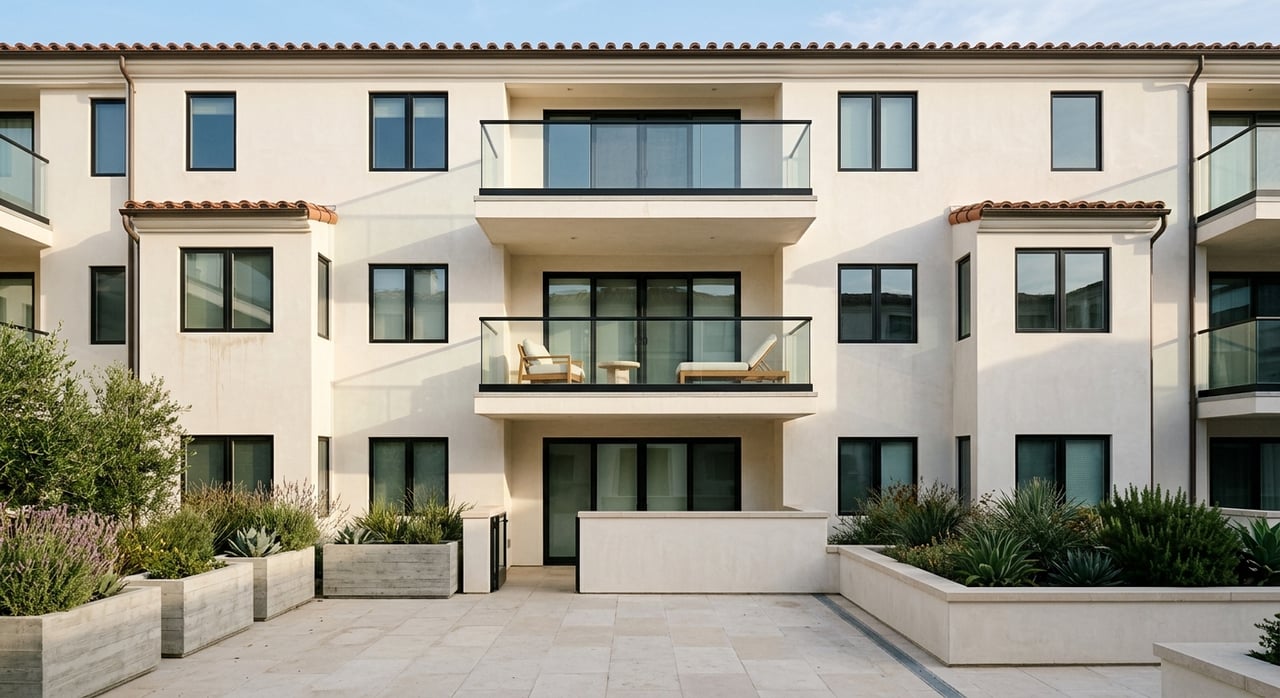
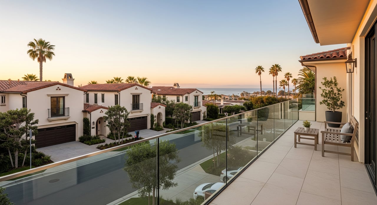
Monarch Beach area
This luxury corridor is anchored by resort amenities, golf, and beaches. Walkability is strongest near the resort and Monarch Bay Plaza, while many subdivisions remain more car-oriented due to distance and topography.
- Walkable to:
- Resort dining and certain beach access points in about 0 to 10 minutes for close-in condos or homes.
- Monarch Bay Plaza or Salt Creek Plaza in about 10 to 20 minutes from nearby pockets.
- Housing snapshot: gated communities with luxury single-family homes, golf-course homes, and condo developments.
- Price notes: approximate, mid-2024 estimates. Luxury single-family homes commonly range from about $3,000,000 to over $10,000,000 in prime locations. Condos or attached homes near the resort often range from about $1,200,000 to $3,000,000.
- Watch-outs: distances can be spread out and streets can be steep in spots, so some errands are faster by car.
Headlands and inland pockets
If you want views and coastal trails more than “walk to grocery” convenience, these areas are worth a look. You will often be close to blufftop parks and pathways, with daily shopping a short drive away.
- Walkable to:
- Trails and parks in about 5 to 20 minutes, depending on your block.
- Larger retail and groceries typically beyond a comfortable 15 to 25 minute walk.
- Housing snapshot: newer construction and luxury single-family homes, plus townhomes in select areas.
- Price notes: approximate, mid-2024 estimates. Single-family homes commonly range from about $1,500,000 to $5,000,000 depending on lot and view.
- Watch-outs: prioritize trail access and open space over immediate retail if walkability to errands is essential for you.
What walkability means for pricing
In Dana Point, homes with easy walks to the harbor, beaches, and restaurant clusters tend to command a premium. That premium is often most visible in condo and townhome buildings near the core, where density and convenience go hand in hand. Single-family homes can also be very walkable, but they may sit a few blocks farther from the action.
As you compare options, weigh tradeoffs like private outdoor space, HOA rules, and guest parking. Seasonal foot traffic and event schedules can also shape your day-to-day experience in the most popular areas. Pacific Coast Highway and South Coast Highway can be barriers in some pockets, so verify safe crossings and sidewalk quality on your exact routes before you decide.
Map layers to check
Before you tour, use a few sources to ground your expectations and route plans. These tools help you confirm distances, crossings, transit, and coastal considerations.
- Walkability overview: check neighborhood snapshots on Walk Score for walk, bike, and transit context.
- City details: explore parks, neighborhoods, and planning updates via the City of Dana Point.
- Harbor orientation: review promenade layouts, parking, and dining on the Dana Point Harbor directory and map.
- Transit options: confirm bus routes and schedules with the Orange County Transportation Authority.
- Coastal risk context: read guidance on sea level considerations at the California Coastal Commission.
- Flood zones: check specific property flood designations at the FEMA Flood Map Service Center.
Sample days on foot
These examples use an average walking pace to help you picture daily life. Your times will vary by address and route, so test your paths with a mapping app.
Lantern District condo near the harbor
- Morning: 5 to 10 minute walk for coffee along the marina.
- Midday: 0 to 5 minute stroll to waterside lunch.
- Afternoon: 10 to 20 minute walk to Doheny Beach or a harbor promenade loop.
- Evening: 5 to 10 minutes to small markets or dinner on Del Prado.
Doheny Village cottage
- Morning: 5 to 10 minutes to the sand or a favorite surf break.
- Midday: 10 to 15 minutes to a local deli or surf shop.
- Afternoon: larger grocery often a short drive, or plan a 15 to 25 minute walk depending on the store.
Monarch Beach condo near the resort
- Morning: 0 to 10 minutes to resort coffee or breakfast.
- Daytime: short walk to Salt Creek for beach time, plaza coffee within about 10 to 20 minutes from some pockets.
- Evening: dinner at the resort or a quick drive to wider dining choices.
Buyer and seller tips
- Confirm route quality. Walk your likely paths at different times to check crossings, sidewalk width, and lighting.
- Validate walk times. Use a mapping app and the “walking” mode for real distances and grade changes.
- Know the HOA rules. Ask about guest parking and short-term rental policies if you are considering condos or townhomes.
- Plan for seasons. Expect busier sidewalks and parking near the harbor and beach during events and peak weekends.
- Balance tradeoffs. Walkable hubs may have smaller floor plans or less private outdoor space, while slightly inland homes can add privacy and size.
- Check transit. If you rely on buses, verify the closest stops and frequency with OCTA.
- Review risk and insurance. For waterfront or low-lying areas, review FEMA flood maps and California Coastal Commission guidance as part of your diligence.
Ready to compare neighborhoods block by block or need an up-to-date CMA for your property? Connect with Michelle Bakkedahl for hyper-local guidance, route testing, and pricing clarity tailored to your goals.
FAQs
Which parts of Dana Point are most walkable to the harbor?
- The Lantern District and the harbor-adjacent streets offer the shortest walks to the marina promenade, restaurants, and Harbor Beach in about 0 to 10 minutes for many blocks.
How long does it take to walk to Doheny State Beach from nearby homes?
- From Doheny Village and close-in blocks, expect about 0 to 10 minutes, with some inland streets around 15 to 20 minutes depending on your exact route.
Are groceries truly walkable in Dana Point’s cores?
- Small markets and cafes are within short walks in the Lantern District and parts of Doheny, while larger supermarkets are more often a short drive or a longer walk of about 15 to 25 minutes.
Is car-free living realistic in Dana Point?
- You can live car-light near the harbor, Doheny, and select Monarch Beach pockets, but many errands are faster by car and bus frequency varies by route.
How does Pacific Coast Highway affect walkability?
- It can act as a barrier in places; safe crossings and sidewalk quality vary by block, so test your preferred paths at different times of day before deciding.